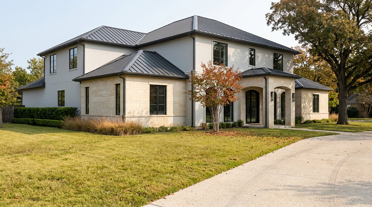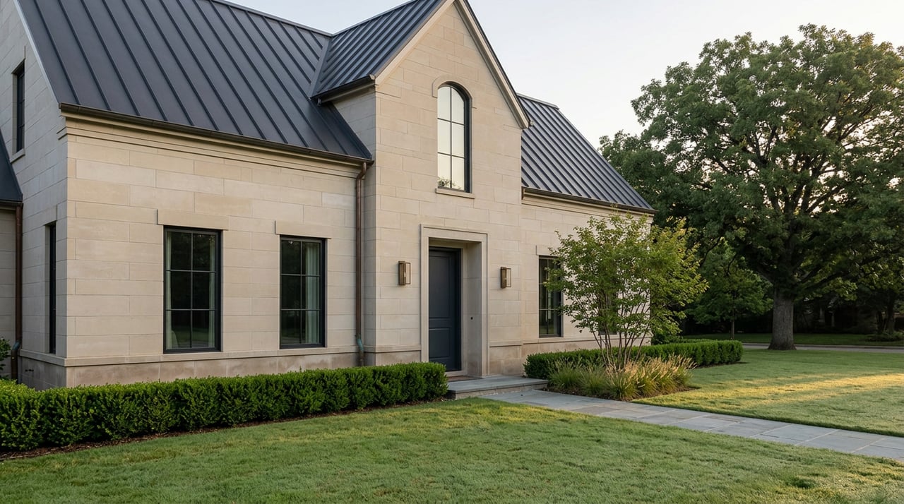
Two houses can sit half a mile apart, both carrying a "Zionsville, IN 46077" address on the listing sheet, and pay different tax rates, answer to different counties, and send their kids to different school corporations. Nothing about the listing photos, the yard, or the porch tells you which one you're looking at. You find out after closing, when the first tax bill arrives from a county you didn't expect, or when the school assignment letter names a building you've never heard of.
That gap between what an address implies and what it actually delivers is not a clerical error. It is the leftover geography of a long-running argument between two Boone County towns, one that started in 2010 and is still shaping how land gets used today.
An Address Is Not a Boundary
Three separate systems decide what happens to a property in this ZIP code, and none of them were built to agree with each other. The mailing address comes from the U.S. Postal Service, which routes mail by delivery efficiency, not municipal lines. The tax bill comes from whichever municipality and county actually hold jurisdiction over that parcel. The school assignment comes from the district's own boundary, drawn by residence rather than by ZIP.
Zionsville's boundaries themselves are a patchwork. The town's original footprint sat entirely inside Eagle Township. In 2010, Zionsville absorbed Eagle and Union townships wholesale, dissolving their separate township governments. Whitestown was doing the same thing from the other direction, annexing pieces of Eagle, Perry, and Worth townships to fuel its own growth, at one point becoming, by some measures, the fastest-growing town in Indiana. By 2014, Zionsville had added Perry Township too, using a maneuver the Indiana Supreme Court eventually upheld: a narrow, isolated parcel that had been swept into Zionsville in 2010 gave the town just enough contiguity to leapfrog past Whitestown and claim Perry Township next door. The two towns fought that case up through the Indiana Court of Appeals and Supreme Court, and the ruling is still the reason the map looks the way it does.
None of that history shows up on a listing. What shows up is a mailing address that now covers a much larger, much less uniform area than the "Zionsville" name suggests.
What "Zionsville" Actually Covers
Along the edges of the ZIP code, in two directions, homes carry a Zionsville mailing address while sitting entirely inside a different city, county, and school district.
To the east, in West Clay Township, Hamilton County, several subdivisions including Abney Glen, Cass Estates, Long Branch Estates, Park Northwestern, and Sanctuary at 116th Street have Zionsville addresses on paper but are assessed by Hamilton County, and their students attend Carmel Clay Schools. Further south, a pocket in Pike Township, on the Marion County side of West 96th Street, sends children to MSD Pike Township and files its property records with the Marion County assessor instead of Boone County's.
So a buyer comparing three listings that all say "Zionsville" could actually be comparing a Boone County parcel taxed by the Town of Zionsville, a Hamilton County parcel zoned for Carmel Clay Schools, and a Marion County parcel in Pike Township. Same ZIP. Three different tax authorities. Two different school corporations.
The Rate Table Nobody Reads Before They Bid
Within Boone County alone, where the "core" Zionsville is located, the certified 2026 rates vary by district:
| District | 2026 certified rate (per $100 assessed value) |
|---|---|
| Rural town district (unincorporated pockets under Zionsville's township reorganization) | $1.8531 |
| Zionsville town district | $2.0336 |
| Whitestown-side district | $2.8894 |
| Carmel-Clay district, Hamilton County (for Zionsville-addressed homes in that pocket) | $2.0167 |
On top of whichever base rate applies, every Zionsville Community Schools address also carries a $0.3433 per $100 referendum rate. That referendum is up for renewal on the November 2026 ballot, and it matters more than the base rate does for one specific reason: it is exempt from Indiana's property tax caps.
Indiana caps the bill on an owner-occupied home at 1% of gross assessed value, with rentals, second homes, and farmland capped at 2%, and business property at 3%. For a lot of owner-occupied homes in this price range, that cap does most of the work, which means the nominal rate differences between the Zionsville town district and the rural town district matter less than they appear to on paper, because both may simply hit the same 1% ceiling. What does not get absorbed by the cap is a referendum levy. So the real, persistent dollar difference between two "Zionsville" homes often has less to do with which side of the town line they sit on and more to do with which school district actually claims the parcel, since that determines which referendum rate rides on top of the cap.
The math backs this up at a market level. Zionsville's median effective property tax rate runs close to 1.05%, a shade above the national median, with a median annual bill around $5,523, according to property tax data compiled by Ownwell. That figure sits close to the homestead cap, which is exactly what you'd expect if caps, not nominal rates, are doing most of the work for most buyers.
The Boundaries Were Never Finished
This is not settled history. It is recent history, and the pattern it set is still relevant to anyone buying near a township line today. In December 2025, the Zionsville Plan Commission forwarded its long-awaited "Uniquely Zionsville" comprehensive plan draft to the Town Council after more than 20 months of public process, with several conditions attached, including a recommendation to pull back the western boundary of a new "Employment Flex" land-use designation and require that any expansion into that zone happen contiguously rather than in leapfrogging chunks, according to a report in Current Publishing. The plan headed to the Town Council for a first reading on January 5, 2026.
The friction point was Perry Township, the same territory Zionsville won in that Supreme Court case a decade earlier. Boone County Commissioner Scott Pell told the Plan Commission that Perry Township residents joined Zionsville specifically to avoid being annexed and developed by Whitestown:
"When Perry Township was annexed by Zionsville, they wanted to be left alone. They wanted to stay rural. They didn't want to develop. And they were told that would happen. I've had people call me recently asking me how they de-annex. I don't know how that would happen or if it could, but I think this could be opening up a big can of worms."
Whether or not de-annexation is even legally possible, the comment captures the real lesson for anyone buying property near a township line in this market. The line you're buying next to was drawn by a legal maneuver, not a natural feature, and as recently as this past winter the town's own comprehensive planning process was actively debating whether to change what's allowed on the other side of it. A parcel that read as rural buffer eight months ago can be rezoned as employment-generating land in the next planning cycle, and the process that decides that runs through Town Hall, not through the MLS. Anyone comparing lots near that boundary today should ask the town directly where that plan and that designation currently stand rather than assume the map is final.
The Bill That Doesn't Match What You Saw Online
One more mechanism catches buyers off guard at closing, and it has nothing to do with which side of a township line the home sits on. Indiana's homestead deduction is not automatic and does not transfer cleanly.
If the seller had a homestead deduction in place, you inherit it for one billing cycle. If they didn't, because the home was new construction or a rental, your first year is billed under the non-homestead cap of 2% instead of the homestead cap of 1%, often close to double the number you might have budgeted from an online estimate, with no way to fix it retroactively. The sales disclosure form filed at closing, with the homestead box checked, doubles as your application for the deduction going forward, and the legal cutoff to file is January 15 of the year your first bill comes due. Miss it, and you're paying the higher rate for another full cycle.
For anyone buying new construction in this corridor, which is a meaningful share of activity west and north of the historic Village, this is worth asking about before the offer goes in, not after the first bill arrives.
What This Means If You're Comparing Listings
A "Zionsville" address tells you almost nothing on its own. It doesn't confirm which county assesses the home, which rate applies, which school district your kids will attend, or whether the land near you is protected from development by anything more durable than a plan that's still being amended. What actually matters is the parcel, not the mailing label on top of it.
If you're comparing homes across this corridor, whether you're a family sorting out which school your children will attend or a relocator trying to understand what a listing price actually buys, it's worth pulling the parcel's actual tax duplicate and school assignment before you fall for the address. The team at Homes of Worth works this exact boundary territory across Zionsville and the surrounding suburbs every week, and can walk you through what a specific address really means before you write an offer. You can also browse current listings and local context on our Zionsville neighborhood page, or if you're coming from out of state, our relocation guide covers more of what to check before you commit to a ZIP code. Book a free consultation and we'll pull the specifics on any address you're considering.
A Few Questions Worth Asking Before You Bid
If my mailing address says Zionsville, will my kids attend Zionsville Community Schools? Not necessarily. Zionsville-addressed homes in West Clay Township, Hamilton County, attend Carmel Clay Schools, and a pocket in Pike Township, Marion County, attends MSD Pike Township. School assignment follows the parcel's actual location, not the ZIP code.
Will my property tax bill match what the current owner pays? Only for one cycle, and only if they had a homestead deduction filed. If the home was new construction or a rental without one, expect a higher first-year bill under the non-homestead cap until you file your own homestead deduction, with a legal filing cutoff of January 15.
Does being inside a TIF district raise what I'll owe? No. A TIF district reroutes the tax on growth in assessed value above a base year to a fund for local infrastructure instead of the town or county's general fund. It changes where the money goes, not how much you owe.